More than 40 years of experience, surveying topotamymetric information on 85% of the country's reservoirs, and more than 1,500 successful projects covering more than 12 million hectares with Lidar sensors support the work of AEROESTUDIOS & BATIMETRIA, Colombian companies that have positioned themselves as leaders in the field of Geographic Information Systems (GIS), offering services in aerial photography, LiDAR, radar and thermal sensors, cartography, 360° photography, 3D modeling, cadastre, topography, bathymetry, hydrology, hydraulics, sediments, and property management.
Start with the customer – find out what they want and give it to them.
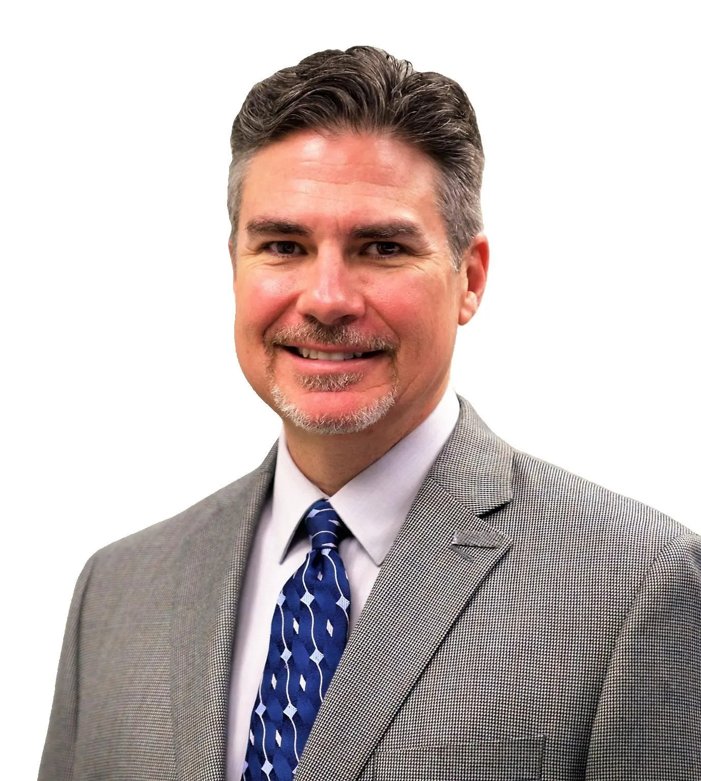
Rodney Cope, CEO
Mr. Cope brings his extensive experience in the geospatial profession to Geospatial Strategic Consultants (GSC).
In his last position with Teren Mr. Cope was responsible for the USDA NRCS Forestry projects, specifically Hermits Peak / Calf Canyon post fire mitigation, under the Program called Wildfire Ready, where we increased the Broad Purchase Agreement to $4M for GFY 2025-2029.
Prior to joining Teren, Rodney held various key positions, including Senior Vice President of Federal Programs at GeoCue, Vice President at Aero-Graphics, National Remote Sensing Program Lead at Michael Baker International, and Senior Program Manager for Quantum Spatial Federal.
With over 25 years of industry expertise, Rodney holds a Bachelor of Science degree in Geography and GIS from Sam Houston State University.
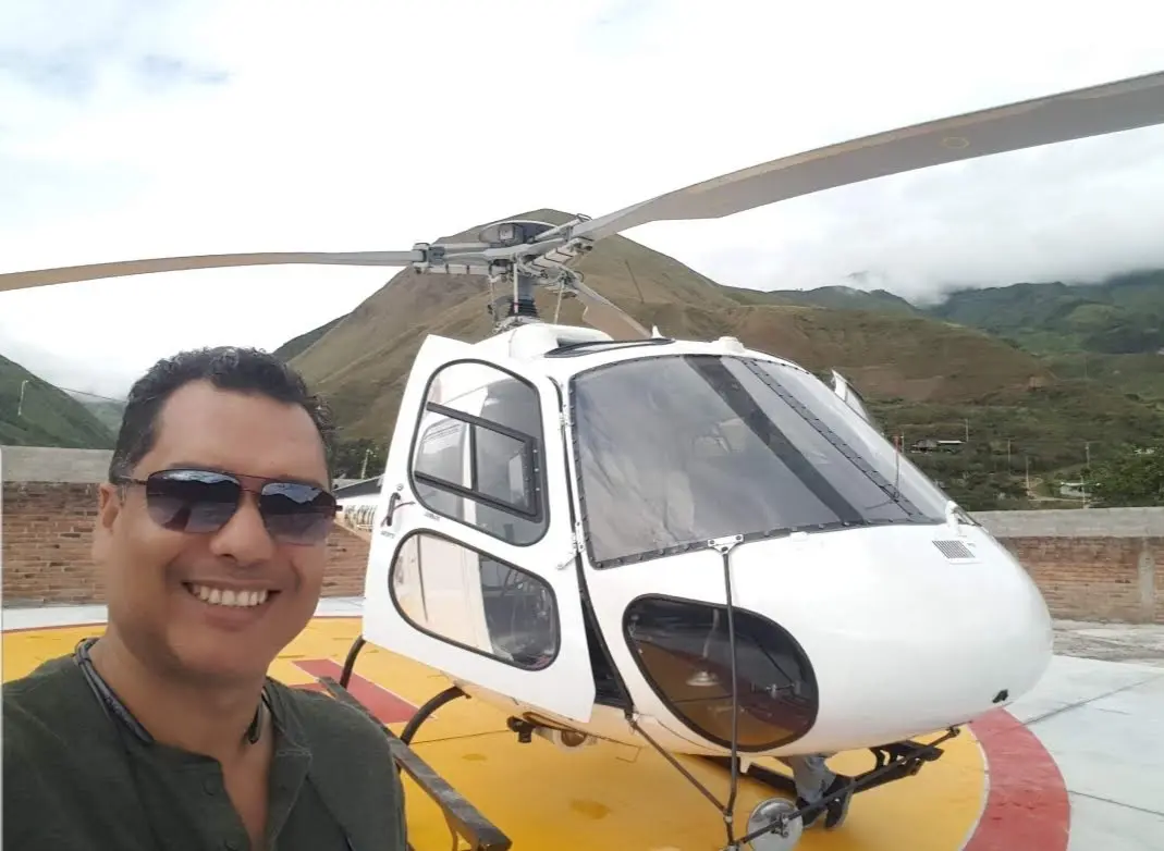
Alberto Moreno, CEO
Mr. Moreno brings 15 years experience to his role in geospatial sensor operations, ground control, flight planning, and logistics in LATAM.
From 2010 to 2024, we collaborated on numerous projects involving the analysis and application of LiDAR technologies across multiple cities in Central and South America.